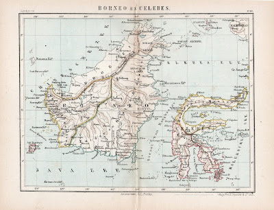
Brunei and Borneo Map 1882
I purchased this 1882 map of Borneo and the Celebes recently. Even though Sarawak has more or less expanded by then, this map curiously enough still noted that Sarawak was still owned by Brunei or Broenei as noted by the German carthographer who did the map. Half of North Borneo or Sabah as it is known today seemed to be administered by the 'Soeloe' as spelled by that German cartographer. Whereas Sarawak is restricted to the mouth of the Sarawak River. This map shows the political Borneo of around mid 19th century and not during the later 19th century even though it was produced during the latter end of the 19th century.


Comments